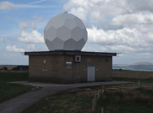
Hameldon Hill
Radar Information
| Radar name | Hameldon Hill | Country | 826 - United Kingdom of Great Britain and Northern Ireland (the) |
| WSI code | 0-20010-0-03331 | Station operating status | Operational |
| Supervising organization | Met Office | Station Type | Land (fixed) |
| Installation date | 1979-01-01 | Region of origin of data | Europe |
| Latitude | 53.7547 | Longitude | -2.2892281 |
| Elevation | 396m | Tower height | 4 |
| Owner name | UK Met Office | Manufacturer | Met Office |
| Time zone | Europe/London | Spatial extent | Volume |
| Communication method | Frequency Band | C | |
| Frequency | 5643 | Beam width | 1.00 |
| Peak power | 250.0 | Pulse width 1-2-3-4 | 2.00 0.50 0.00 0.00 |
| Pulse repetation frequency min | 300 | Pulse repetation frequency max | 1200 |
| Signal processor | Cyclops | TX/RX type | Magnetron D |
| Polarization | D | Lowest & Highest angle | 0.5 90.00 |
| Task cycle time min | 5.0 | Task cycle time max | 10.0 |
| Minimum detectable signal of the receiver (DBM) | -120 | Minimum detectable signal of the receiver (DBZ) | 0 |
| Summer reflectivity [Z-R] | 200 1.60 | Status of Observation | |
| Winter reflectivity [Z-R] | 200 1.60 | Sampling strategy | continuous |
| Other reflectivity [Z-R] | 0 0.00 | Instrument Status | |
| Level Of Data | Reference time | timeServer | |
| Schedule of international exchange | 1 | ||
| Local Web Url | http://www.metoffice.gov.uk/public/weather/observations/ | ||
Radar Data Exchange (Organizations)
| Organization Name | Data Format | ||
| Products | Composite Software |
Radar Data Exchange (Bilateral)
| Binary Format | Binary Products |
Radar Data Dissemination
| Data Format | Products |
Location & Media